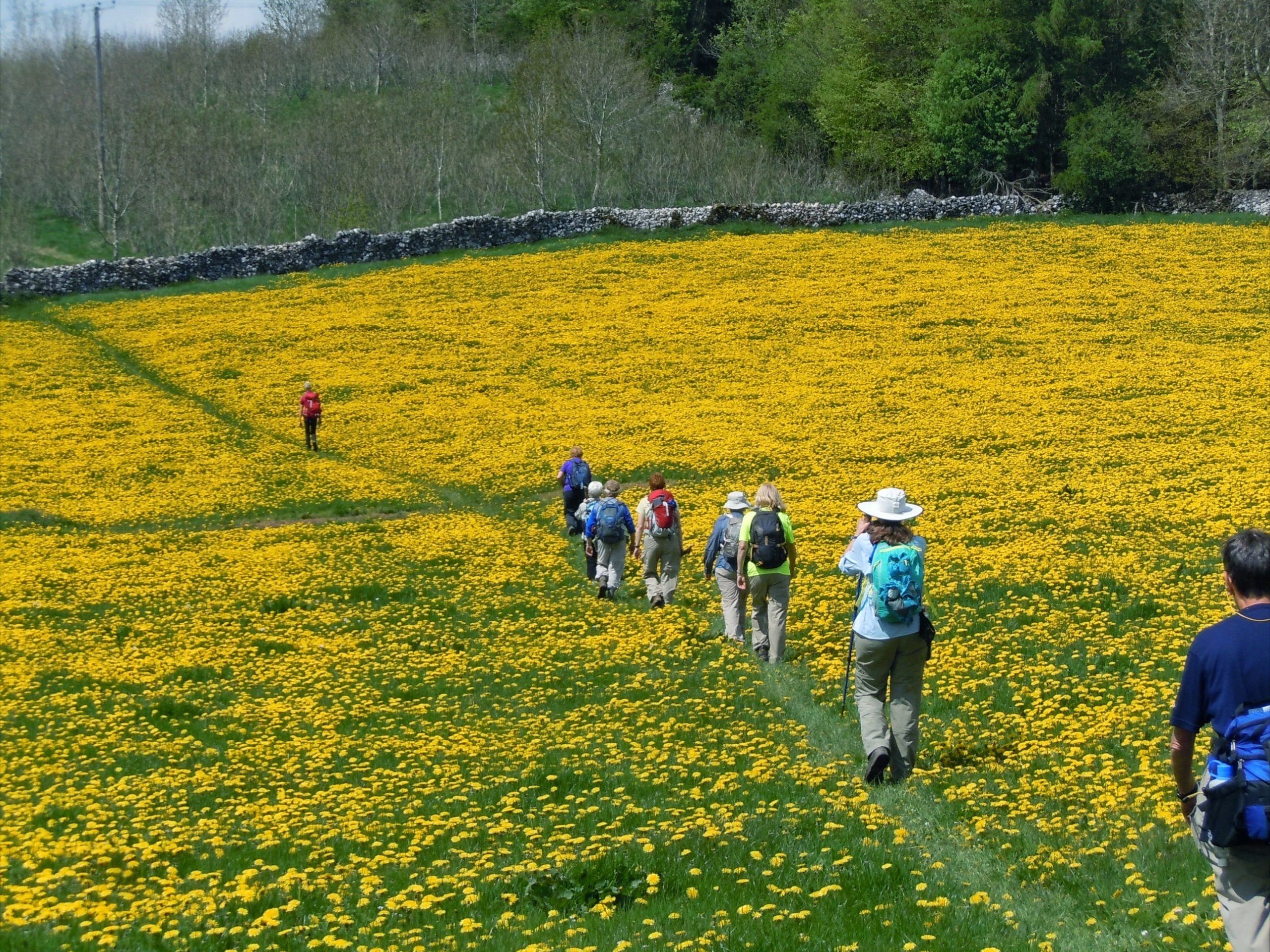

There are inherent risks with hiking which include conditions such as uneven terrains, wet, slippery surfaces or protruding tree roots/stumps. Members and visitors assume this risk understanding falls or slips could result in injury.
The past months' schedules are found at Past Hike Schedules Page.
Changes Resulting from Construction Projects, Road or Parking Lot Closures
See changes listed below. Note: The published monthly schedules, the online daily, and next 10 days schedules are not updated with the changes.
Access to West Creek (update)
West Ridgewood Dr. between State Road and Broadview Road is closed for bridge replacement on West Ridgewood Drive West Creek Reservation and the Watershed Stewardship Center are accessible from Broadview Road coming from the East on West Ridgewood Road. Detour directions: If coming to the Park on West Ridgewood from the west, Follow the detour signs north on State Road, turn right (East) on Snow Road, turn Right (South) on Broadview Road, turn right (West) on West Ridgewood Road. Expected reopening is September 2026. Marianne V [posted 5/25-9/15/2026]
Gully Brook road Closure
Gully Brook Reservation: Chagrin River Road [Rt. 174] is only open to northbound traffic. To access Gully Brook you will have to enter Rt. 174 from Chadron Road to Rt. 174 going North. The road is closed to Southbound traffic so you can only go North.
This will go on until Middle of July.
This affects Monday hike June 15th at 1pm led by Helen Layton and also on June 30th at 1pm. Possible closure July 13th.
Marianne V [posted 06/15-07/13/2026]
Maps and Instructions for Long Hikes
2027
None at this time